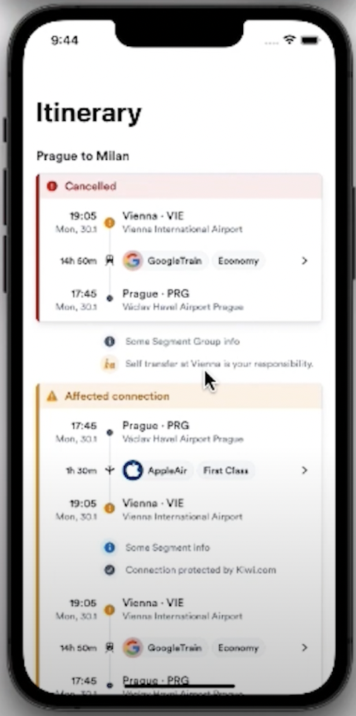
Visualizing itineraries
Update 2026-01-20: Improved layout with better section headings and bullet formatting for enhanced readability.
Introduction
When planning a trip, we organize two critical dimensions: when we’re doing an activity and where we’re doing it. Transforming these lists into visual representations helps travelers:
- Organize trips effectively and make informed decisions
- Grasp logistics at a glance
- Identify potential conflicts or gaps in schedules
- Ensure a balanced and enjoyable travel experience
With visual aids like maps, timelines, and color-coded schedules, every moment can be cherished and every destination discovered to the fullest.
The Time Dimension
Emoji Representation
Using emojis to visualize itineraries adds a creative and playful dimension to travel planning. These expressive icons have become a universal language that can represent various activities, attractions, and landmarks:
Benefits of emoji-based itineraries:
- Instant recognition - Travelers can quickly identify activities at a glance
- Visual appeal - Transforms plain text into a vibrant, engaging format
- Universal language - Understood across cultures and languages
- Simplicity - Captures the essence of each destination or activity
Examples:
- 🌴 Tropical beach getaway
- 📷 Picturesque photo spot
- 🍽️ Dining experience
- 🎬 Entertainment or movies
- 🚶 Walking or exploration
This approach not only simplifies itinerary creation but also sparks excitement and anticipation, making travel planning as fun as the experience itself.
🎬🚶🛒🚶🍽️🧽💻🍽️🎬🚶😴🚶🛒💻🍽️📦🧽💻💻
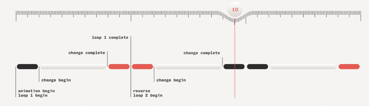
Timeline Representation
Viewing itineraries as timelines offers a dynamic and insightful perspective on journeys. By representing activities chronologically, timelines help travelers:
Key advantages:
- Visualize progression - See the flow of your trip from start to finish
- Duration awareness - Anticipate how long each activity will take
- Gap identification - Spot potential overlaps or free time in schedules
- Efficient time management - Allocate time appropriately to attractions
- Progress tracking - Check off activities and feel accomplished
Whether using a day-by-day breakdown or a comprehensive overview, timelines ensure travelers make the most of their limited time and can reflect on their well-planned itinerary.

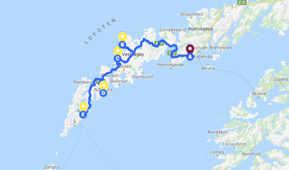
The Location Dimension
Visualizing itineraries on a map adds an essential layer of comprehension and excitement to travel planning. Seeing destinations plotted geographically provides:
Mapping benefits:
- Distance awareness - Understand actual distances between locations
- Route optimization - Identify the most efficient travel paths
- Nearby discoveries - Explore attractions close to planned destinations
- Sequence planning - Make informed decisions about visit order
- Geographic context - Grasp the breadth and diversity of your journey
Mapping itineraries offers a sense of exploration as travelers visually connect the dots between destinations, envisioning the landscapes they will encounter and ensuring a well-informed, immersive experience.
Tools and Resources
Emoji Resources
- Emojipedia - Travel & Places - Comprehensive emoji reference for travel-related icons
Travel Planning Apps
- Travel Planning Apps with Live Maps - Comparison of popular itinerary apps
- Wanderlog - Collaborative travel planner
- TravelMap Itinerary Builder - Visual itinerary creation tool
Map-Based Tools
- Google Maps Export Guide - How to export route data
- Google Maps Trip Planner - Geographic planning guide
Visualization Libraries
- Anime.js - JavaScript animation library for timelines
- Orbit UI Presentation - Creative timeline visualization approach